PACIFIC CREST TRAIL THRU-HIKE TO SUPPORT AMADOR TRAIL STEWARDSHIP
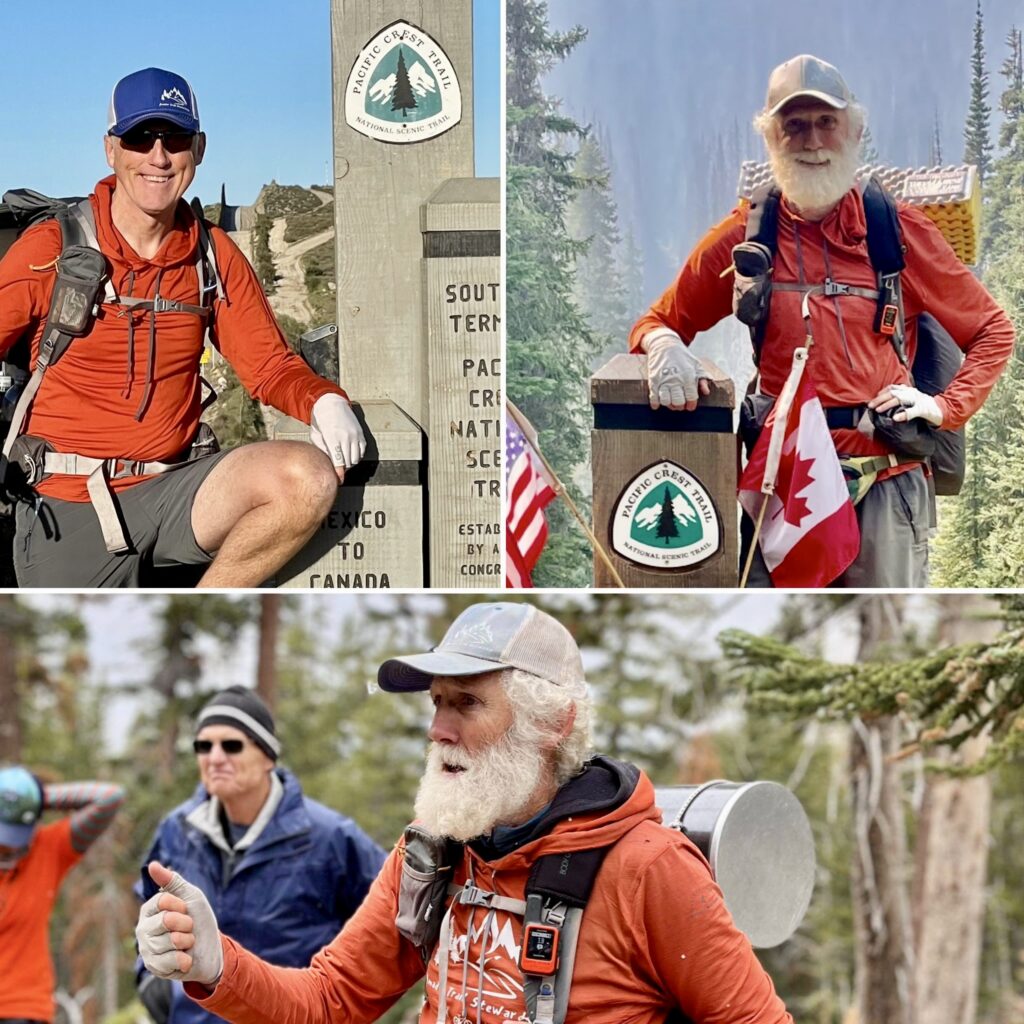
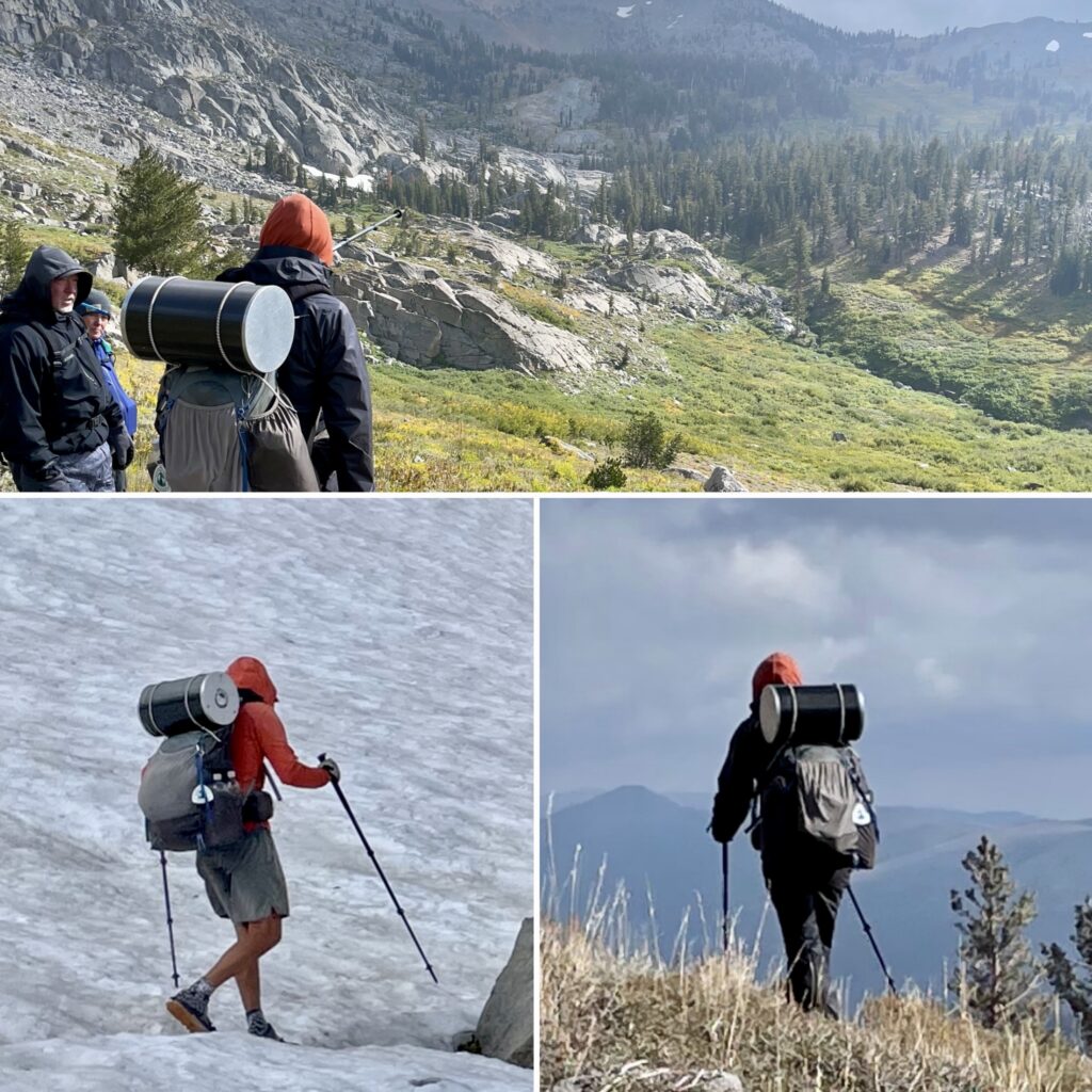
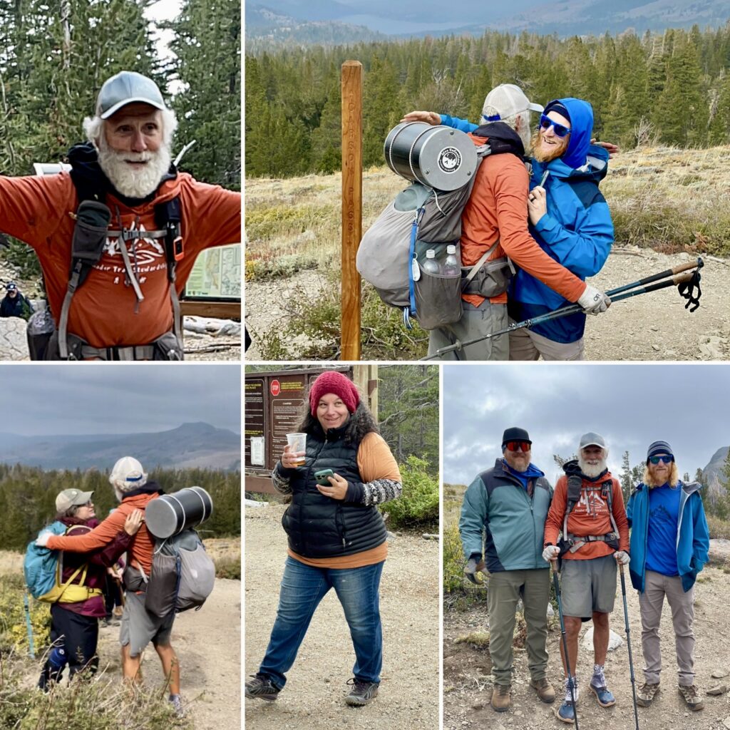
This was an exciting and adventurous year as John Silva of Give Back Adventures embarked on a solo thru hike of the Pacific Crest Trail starting in March, 2023 to raise funds, as well as awareness, for Amador Trail Stewardship.
Thru-hiking refers to hikers who complete long-distance trails from end to end in a single trip and is a long commitment taking between five and six months. The Pacific Crest Trail Association estimates it takes most hikers between six and eight months to plan, train and get ready for their trip. The PCT is 2,650 miles long and ranges in elevation from 110 feet near Bridge of the Gods at the Oregon-WA border to 13,153 feet at Forester Pass in the Sierra Nevada. The route passes through 25 national forests and 7 national parks, while its midpoint is near Chester, CA where the Sierra and Cascade mountain ranges meet.
This promises to be a challenging adventure as Silva hikes through the Southern California desert region from the PCT southern Terminus at the Mexico border near Campo, CA, for over 700 miles to the start of the Sierra Nevada at Kennedy Meadows South (KMS). Hazards in this section include the possibility of high temperatures, scarce water and being on alert for scorpions and rattlesnakes.
From KMS, Silva will continue carrying everything on his back as he continues northbound into the Sierra Nevada mountains. Challenges will include negotiating snow covered terrain and hiking over (8) Sierra passes with each being over 11,000 feet.
One of the biggest logistical challenges will be getting off trail and into towns to resupply with food. This usually involves hiking off the PCT and hitchhiking into the closest town.
Other challenges will be negotiating the threat of wildfires in northern California, Oregon and Washington; as well as dealing with “Hiker hunger” due to not being able to carry enough food to make up for the huge amount of calories burned along the trail.
2022
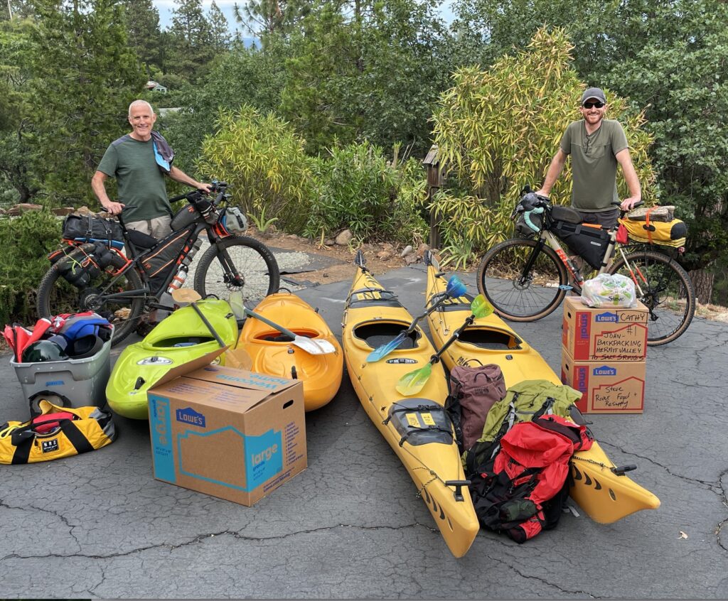
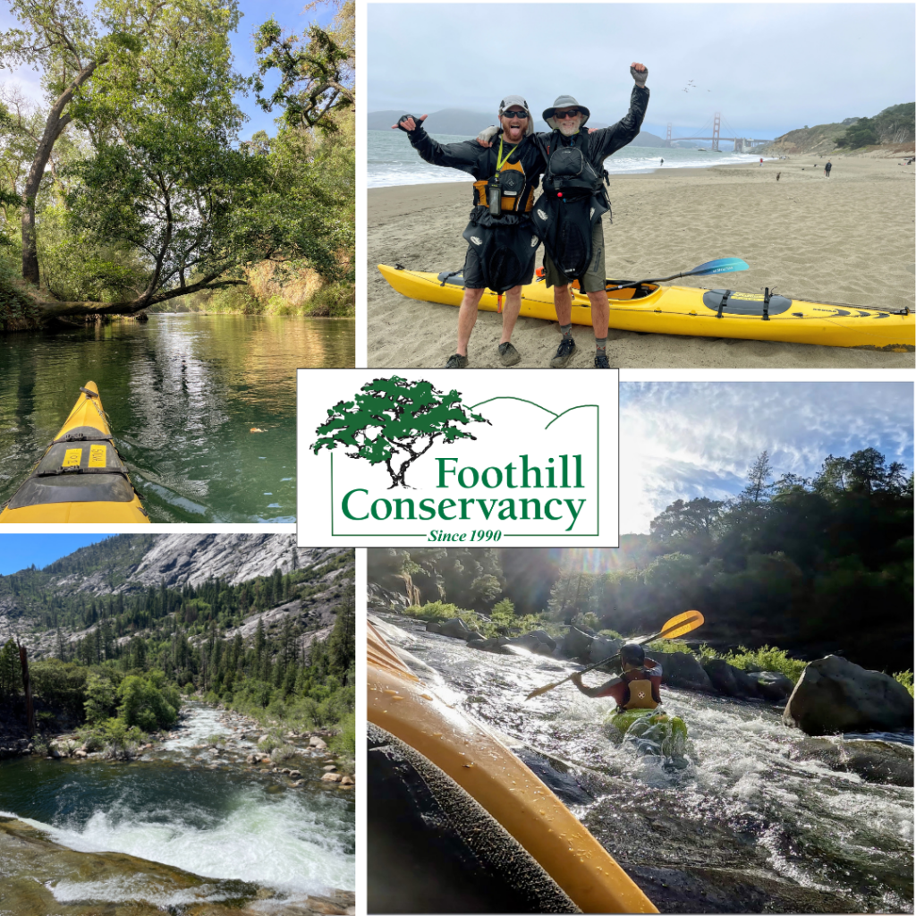
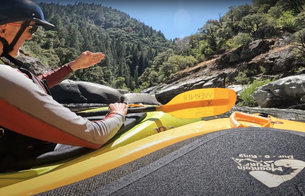
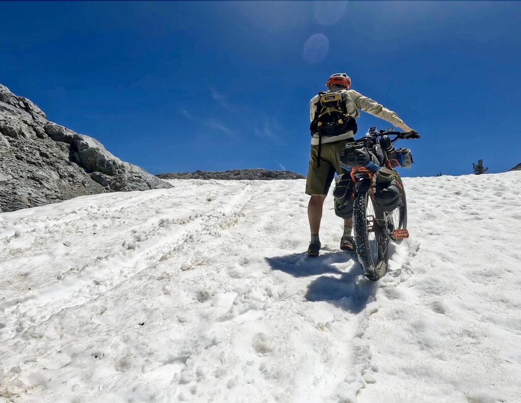
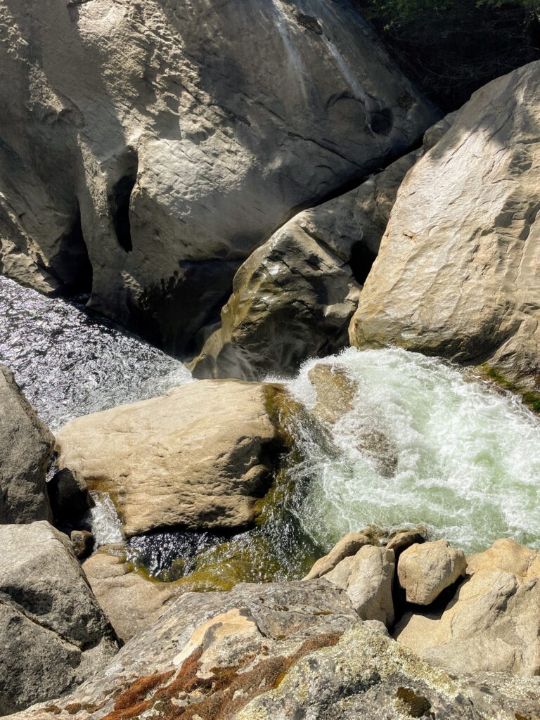
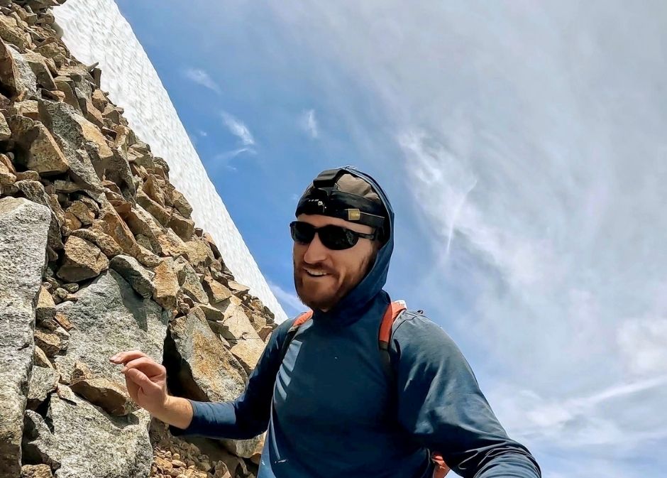
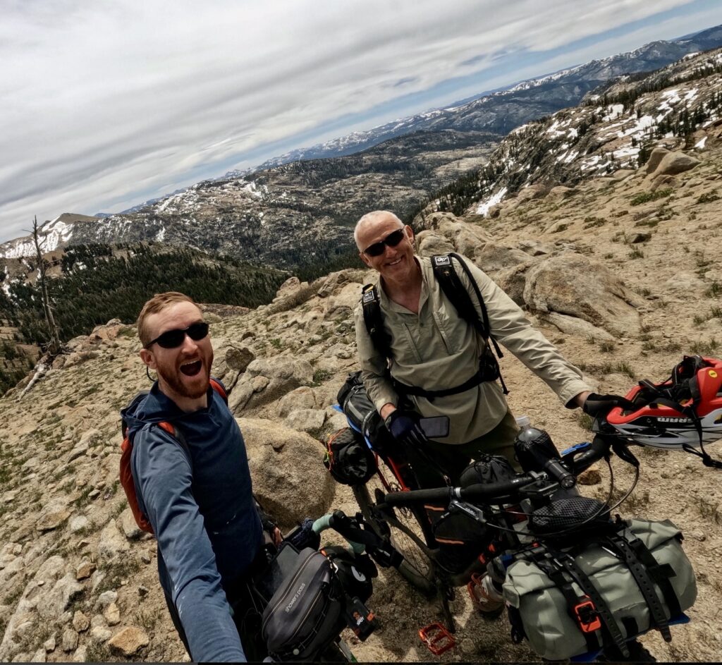
MOKELUMNE RIVER, SOURCE TO THE SEA
MULTI-SPORT EXPEDITION
Starting in Jackson, California and benefiting Foothill Conservancy, this 600+ mile expedition followed the Mokelumne River from several peaks forming its headwaters, down through the foothills & across the California Delta before heading out beneath the Golden Gate Bridge to the Pacific Ocean. Multiple sports were utilized including bikepacking, mountain climbing, backpacking, whitewater kayaking, canyoneering, whitewater rafting and sea kayaking. From San Francisco, it was back on bikes across the Golden Gate and Richmond-San Rafael bridges and through the Oakland hills to the finish in Jackson.